


The national level
Research in each of the countries focused on two levels of analysis, the national and the local level. At the national level, detailed policy and regulatory histories have been collected for 5 different countries: Tunisia, Lebanon, Jordan, UAE, Oman. In each of these cases, the analysis has attempted to extend to the policy-process itself and to the political economy context in which it unfolds, understanding also the detailed contextual key drivers of growing pressure over groundwater resources and the link with, and impact of, other sectoral policies: economic policy; water policy directions; agricultural policy; and energy policy to mention a few.
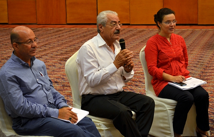
These reports have also aimed to unpack the attitudes, roles, interests and strategies of the multiple actors involved in order to put each process in context. They identify the debates, controversies, coalitions and how the different ministries, sectors, interest groups, andindividuals involved have contributed to the process and its outcomes; the relative importance of formal and informal institutions, of legal frameworks and traditional arrangements (legal pluralism); the evolving roles of public institutions as well as farmers and users in managing groundwater resources.
The local level
In order to build a more detailed contextual understanding of how groundwater use and management are applied on the ground, four problem aquifers were selected in four different countries (Tunisia, Lebanon, Jordan, and UAE). Fieldwork focused on finding out about the specific biophysical characteristics of the different cases, uses, as well as user strategies and farming practices. Research in each of these problem aquifers examined through an in-depth historical perspective how water use and governance have developed and attendant problems been dealt with in each particular aquifer
The Haouaria Plain in Tunisia
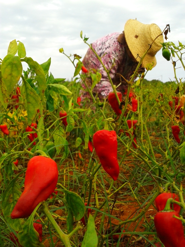 In Tunisia, the Haouaria plain is located in the extreme northeast of the Cape Bon peninsula. The plain benefits from three main favourable conditions permitting the groundwater recharge and abstraction and use of the resource: (i) relative important precipitation levels; (ii) a favourable geomorphology forming of a depression enabling the concentration of runoff in low land areas; (iii) the geology of the plain offering layers of permeable and sandy quaternary formations. The plain of Haouaria is subject to the continuous over-exploitation of groundwater for agriculture, aggravated by an increase in salinity. There is also intense competition for the resource given the multiplicity of users pumping groundwater (farmers, food processing industries, plant nurseries, drinking water supply, and the forest).
The Bekaa Valley in Lebanon
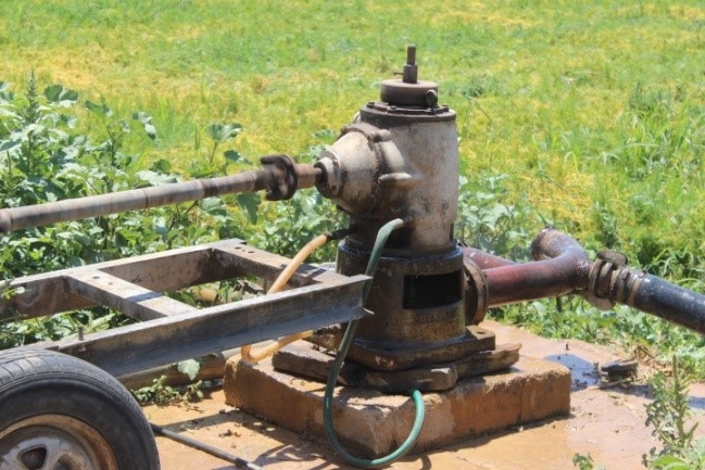 The study area in Lebanon is found in the Upper Litani River Basin, limited by the Alleik springs to the North, the Qaraoun artificial lake to the South, and bounded to the East and West by Mount Lebanon and the Anti-Lebanon Mountain ranges. It comprises the most fertile part of the Bekaa plain (around 40,000 ha), the largest agricultural region in Lebanon. Both surface and groundwater are privately accessed by municipalities and farmers in the Bekaa valley. Quantitative water supply is gradually declining due to increasing demand and the lack of management. Several large rivers that used to flow continuously such as the Litani and the Berdaouni now dry-out in the summer. Groundwater table levels used to be very shallow before the 1960s (less than 10m in the plain) but have now seriously declined across the valley, resulting in reduced well yields, more drilling and deepening, and the permanent drying-out of several springs.
The Azraq Basin in Jordan
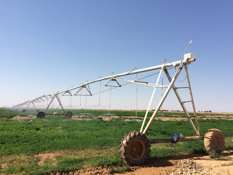 The Azraq Basin is located in the North-eastern part of the country with an area of 12,710 km2, a semi desert area characterized by a hot and dry summer and fairly wet and cold winter. The mean annual rainfall ranges from 50 mm/year in the Azraq Oasis area to 500 mm/year in Jabal Al Arab area. The oasis (or Azraq wetland) is located in the central part of the Azraq basin with a naturally flooded area of 12 km 2, declared an international RAMSAR site in 1977. Until 1992 the oasis originated naturally from the discharge of four main springs in Azraq, until that year when they dried out due to extensive pumping and use from different users (agriculture and drinking water supply to Amman). Groundwater in Azraq has been used since the early 1960s by several sectors for different purposes: domestic, industrial, agriculture and environmental use. Groundwater in the Azraq basin is a major source for drinking water for the cities of Amman, Irbid and Zarqa as well as the Azraq area itself.
The Liwa Oasis in the UAE
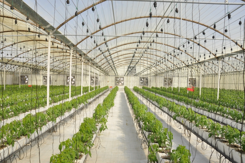 The Liwa Oasis in the United Arab Emirates (UAE) sits on top of an unconsolidated aquifer with almost no recharge. This freshwater reserve supports many forms of agricultural production in the UAE including date farming and the cultivation of vegetables for the Abu Dhabi market. Traditionally, irrigation and date palm agriculture were maintained through aflaj systems but currently there is a widespread use of drip irrigation and greenhouses in the oasis and the aflaj are maintained artificially by groundwater wells. Aside of the competition for ground water for agriculture, a further water strain results from the rapid growth of tourism in area. Additionally, various other human activities are also contributing to the rapidly changing chemical status of groundwater in the Liwa formation. Confined animal farming produces high levels of nitrogen and phosphate. Similarly fertilizers and pesticides used in agriculture are seeping into the groundwater and contaminate reserves.